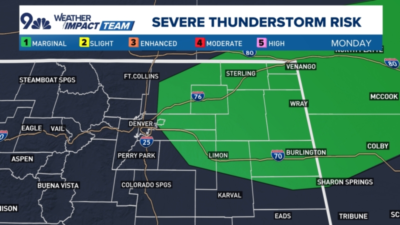
There is also a marginal risk for severe wind and hail with storms that form near the east Denver metro extending out to the eastern state line.
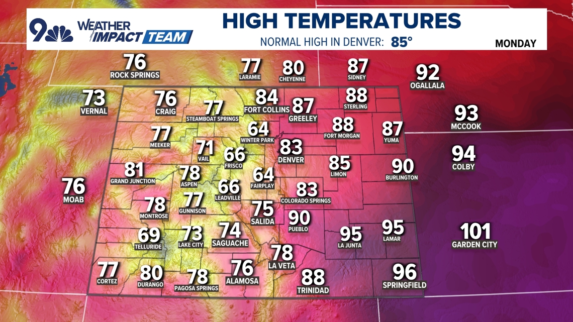
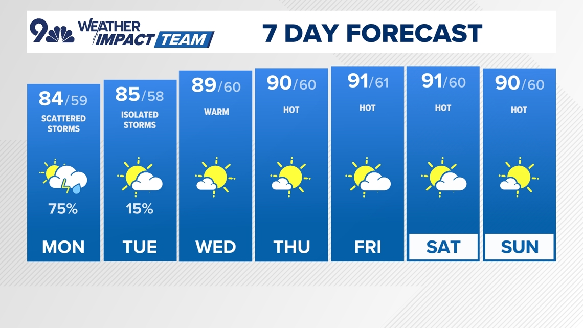
Another impact of this monsoon surge will be slightly cooler temperatures. The high in Denver is forecast to stay below 90 degrees on Monday and Tuesday.
The weather pattern looks to switch up mid-week. The ridge of high pressure is forecast shift farther out to the east which will limit the pull of moisture coming up from the monsoon region. Rain chances are expected to be much lower statewide on Wednesday and Thursday, and that drier air could last longer in the Denver area, perhaps even into the coming weekend.
The high heat is also going to return with that drier air. High temperatures in Denver are forecast to be near or slightly above 90 degrees Wednesday through Sunday.
DENVER FORECAST
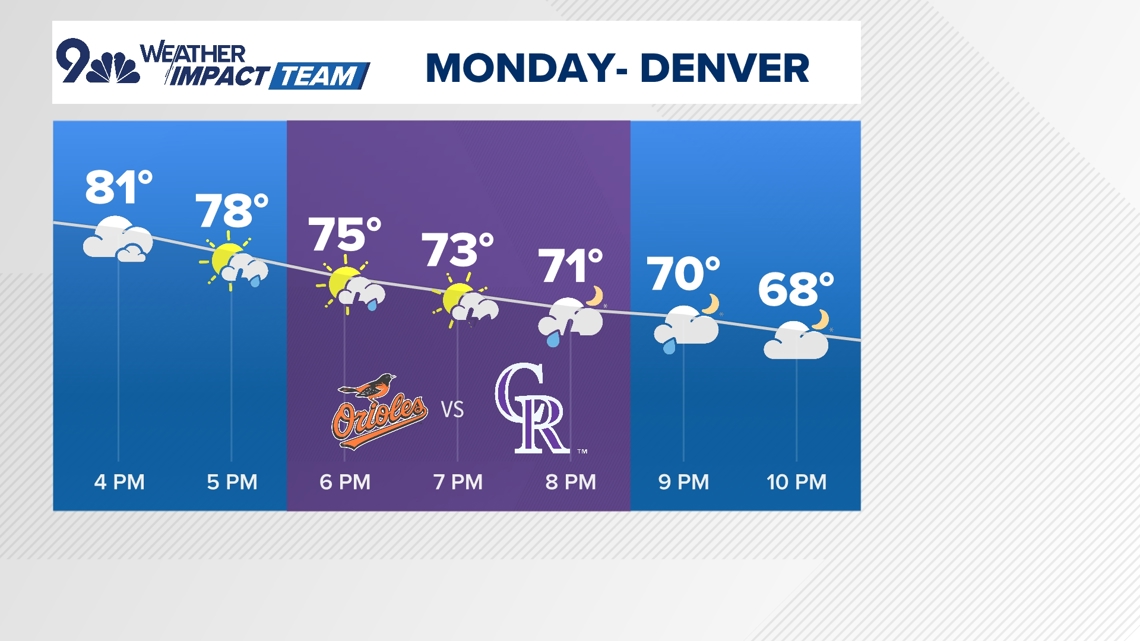
- MONDAY: Partly cloudy and cool with scattered afternoon storms. High 84, low 59.
- TUESDAY: Partly cloudy with isolated showers possible. High 85, low 58.
- WEDNESDAY: Warm and mostly dry. High 89, low 60.
- THURSDAY: Mostly sunny and hot. High 90, low 60.
- FRIDAY: Mostly sunny and hot with. High 91, low 61.
- SATURDAY: Partly cloudy and hot.. High 91, low 60.
- SUNDAY: Mostly sunny and hot. High 90, low 60.